|
||||||||||||||||||||
(by Gianluigi Bacchetta)
![]()
 Sulcis
Park, measuring 68,868 hectares (about 172,170 acres), is the largest among the future
Regional Parks singled out by the Provincial Law n.31 of the 7th June 1989. The Park
Organization has not being constituted yet, but a big share of the territory is protected
and is the property of W.W.F. and Sardinian Demesne Forests Organization.
Sulcis
Park, measuring 68,868 hectares (about 172,170 acres), is the largest among the future
Regional Parks singled out by the Provincial Law n.31 of the 7th June 1989. The Park
Organization has not being constituted yet, but a big share of the territory is protected
and is the property of W.W.F. and Sardinian Demesne Forests Organization.
It's located in the south-west of Sardinia, in a geographical area
called Sulcis, which occupies a fairly big share of the mountainous area between the
Cixerri valley to the North, the plains of Villaperuccio, Giba e Narcao to the West, the
plains of Capoterra, Villa San Pietro, Pula and S.Margherita to the East and one of
Teualda's Gulf and Chia's Bay to the South.
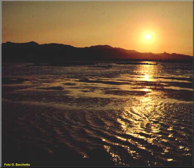
Sulcis montains at sunset from
the Capoterra Pool
Belong to the Park 4 Mountain Communities (n. 19-22-23-24) and 15 communes:
Assemini, Capoterra, Domus de Maria, Masainas, Narcao, Nuxis, Pula, Santadi, Sarroch,
Siliqua, Teulada, Uta, Villamassargia, Villaperuccio and Villa San Pietro; only four of
these communes' centres are inside the Park's borders. Indeed, this area is barely
inhabited; beside the main villages there are small fractions or rural villages (called furriadroxius),
especially in the Santadi and Nuxis zones.
The Park's area is represented in the maps of I.G.M.I. (25th series, 1st ed. 1992) scale 1:25,000 of: Assemini (556, II), Siliqua (556, III), Narcao (565,IV), Capoterra (565, I), Santadi (565, III), Villa San Pietro (565, II), Teulada (573, IV) and Domus de Maria (573, I).
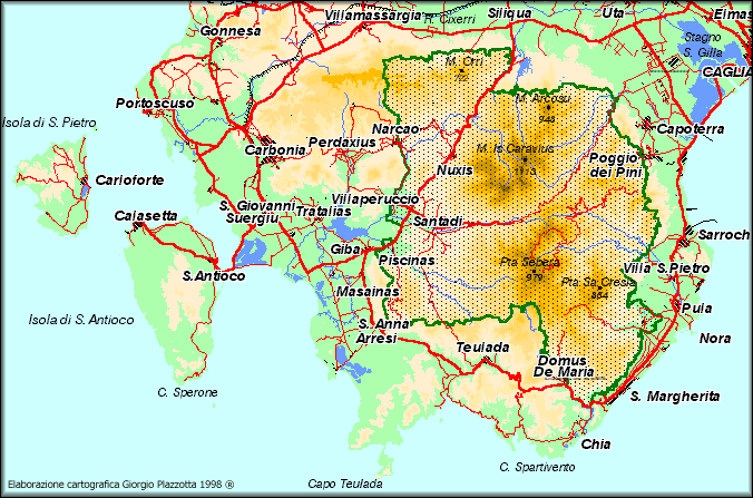
Map of the Sulcis area and
Park
The main means of access are the provincial road n.12 for Santadi, that pass through the massiff and the communal road that goes from Domus de Maria to the Forester's Barrack of Is Cannoneris. Both roads are only partially asphalted but easily negotiated.
Translated by Antonio Scalas and Jenny Setchell
![]()
